While Google’s Street View cars have mapped the world’s roads, the company has had a harder time reaching places that aren’t accessible by car. While Google has already started a pilot program to give organizations a chance to take one of its Trekker Street View Backpacks out to notable locations, not everyone can qualify for one of the massive, camera-laden apparatuses.
Now, the company has announced a way for users to upload their own panoramas for inclusion in Google Maps. In the past, it has been possible to upload Photo Spheres, which can be shot either by using the Android camera app, or by converting a panorama taken with another camera, to Google Views as a way of sharing the look of a space. But now, there’s a pathway for taking those spheres and getting them into Google Maps.
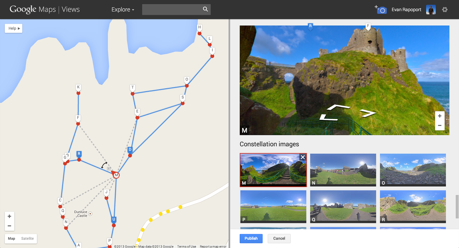
Once the spheres are uploaded to Google Views, users can use a web-based tool to set the position of each sphere, and connect them in a “constellation,” which then gets included in Street View. Once’s that’s complete, users of Google Maps can then “walk” through the panoramas in much the same way they’d walk through the Museum of Flight or Monticello.
To see what one of the chained together panoramas looks like, check out the sample below: