

For years, Google Maps has been the default platform. Still, its pricing structure has prompted many tech teams, from Seattle’s thriving startups to emerging hubs across the Pacific Northwest, to seek more cost-effective and feature-rich solutions.
| Name | Pros | Cons | Best For |
| Radar |
|
|
Startups and enterprises seeking a cost-effective, unified location platform |
| Mapbox |
|
|
Developers needing deep map customization and visual appeal |
| Microsoft Azure Maps |
|
|
Enterprises building applications within the Microsoft cloud ecosystem |
| Geoapify |
|
|
Businesses and developers who prioritize open data and flexible licensing |
| OpenStreetMaps |
|
|
Open-source projects and teams needing full control over raw map data |
The price of innovation can be steep, especially for startups and developers working with location-based services. The broader tech landscape is seeing intense competition over API pricing, with recent price wars in the AI sector highlighting how critical API costs are to a developer’s bottom line. This shift isn’t just about cost; developers need powerful, scalable tools with advanced features like sophisticated geofencing and real-time tracking without restrictive terms. Choosing the right Google Maps API alternative is a strategic decision that can free up budget and unlock new product capabilities. This guide evaluates five leading geolocation platforms that provide a compelling alternative for building the next generation of location-aware applications.
Evaluating the Top Geolocation APIs
Finding the right mapping API goes beyond comparing feature lists. We evaluated these platforms on their core strengths, ease of integration, scalability, and overall value proposition for tech teams. The decision often comes down to balancing out-of-the-box functionality with the flexibility for deep customization, all while keeping an eye on the budget. As recent analysis shows, this reflects a broader trend in the API economy, where a platform’s commercial model and ease of use are becoming just as important as its technical capabilities (TM Forum, 2025). This push for clearer business models is essential as telcos and other providers seek to monetize their networks more effectively, aiming to build a more standardized and accessible API ecosystem for developers.
Radar
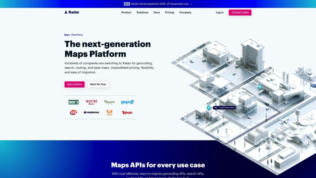
For product and engineering teams that need more than a single-purpose API, Radar offers an all-in-one location platform that combines maps, geofencing, and trip tracking into a single, unified service. This approach is designed for teams that want to build advanced location-based experiences without the high operational overhead of managing multiple vendors. For developers feeling the squeeze from Google’s pricing, Radar presents a powerful and cost-effective solution, with some customers reporting savings of up to 90%. Major brands like Panera and T-Mobile trust the platform and have proven its reliability at an enterprise scale. Its key differentiator is a Geofencing Platform that overcomes the native limitations of iOS and Android, offering unlimited polygon geofences with accuracy down to 5 meters. By bundling these services with a full suite of mapping APIs, Radar allows teams to reduce their mapping costs and reinvest those savings into building innovative product features.
| Feature | Description |
| Core Services | Geofencing, Maps (Geocoding, Search, Routing), Trip Tracking. |
| Pricing Model | Tiered pricing with a free plan; can be up to 90% less expensive than Google Maps. |
| Key Differentiator | Unified platform with advanced polygon geofencing and place detection. |
| Data Source | A mix of proprietary, open-source, and commercial data. |
Mapbox
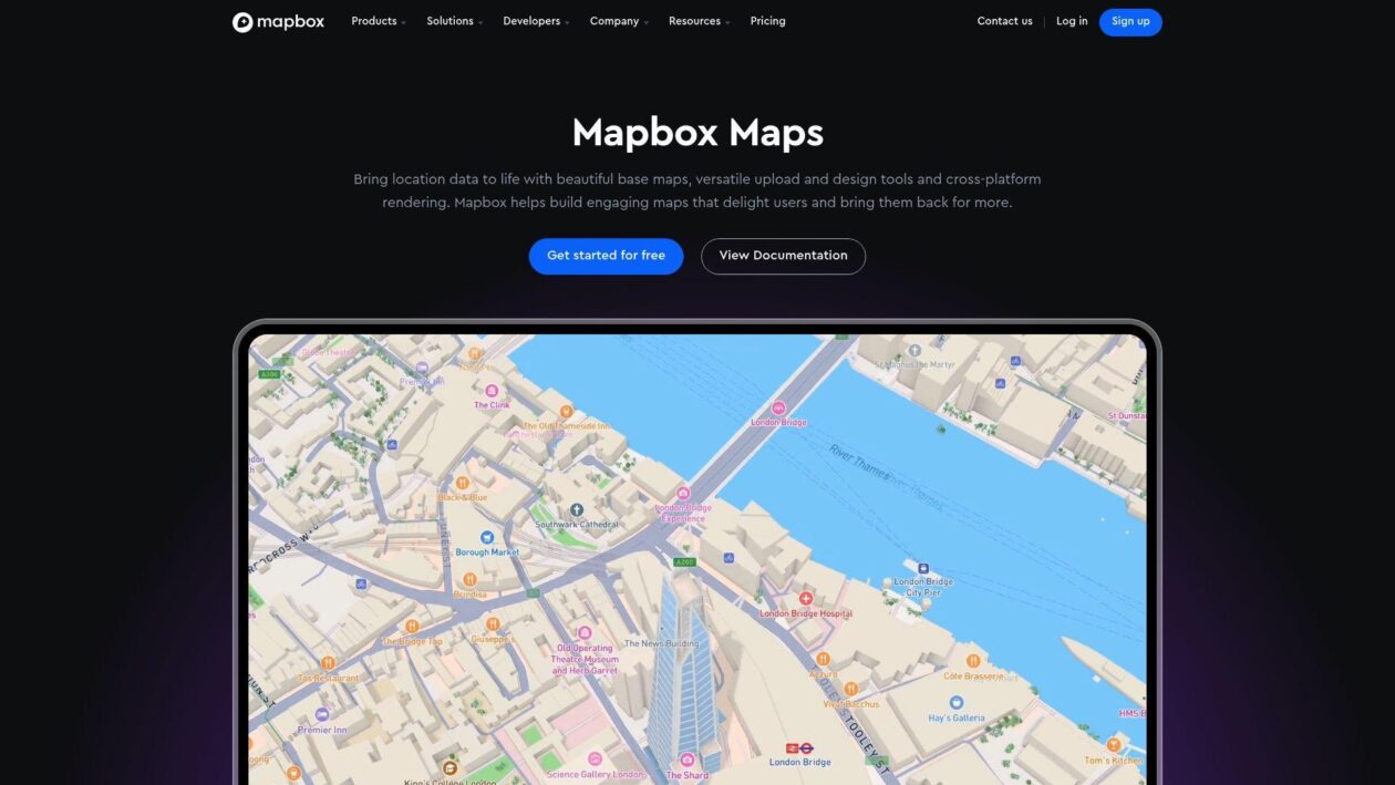
Mapbox is the platform for developers who treat the map as a core, branded element of their user experience. Its suite of APIs and SDKs empowers teams to create unique, visually stunning maps that align perfectly with their brand identity, moving far beyond generic map tiles. For applications where the map is central to the product, Mapbox provides the creative control needed to build something truly exceptional. The platform is built for immense scale, powering experiences for millions of users worldwide. Its commitment to the developer experience is evident in its detailed documentation and robust toolset, which supports everything from turn-by-turn navigation to rich data visualizations and interactive experiences. This focus on high-quality design and performance makes it a favorite among tech companies where design and user interface are paramount.
| Feature | Description |
| Core Services | Map Design Studio, Navigation SDKs, Search & Geocoding, Data Visualization tools. |
| Pricing Model | Usage-based with a generous free tier; can become expensive at high volume. |
| Key Differentiator | Unmatched map styling, deep customization, and high-performance visual rendering. |
| Data Source | Proprietary data combined with sources like OpenStreetMap and other partners. |
Microsoft Azure Maps
Azure Maps presents a powerful and logical extension for geospatial services for organizations already invested in the Microsoft cloud, positioning it as a key player in the growing enterprise mapping API market. This suite integrates seamlessly with Azure, Dynamics 365, and Power BI, providing a robust foundation for business intelligence and logistics applications that require enterprise-level security and compliance. Azure Maps offers a comprehensive feature set that includes real-time traffic flow, weather data, and electric vehicle routing. Security is built in, leveraging Microsoft Entra ID for authentication. This makes it a suitable solution for industries like field services and logistics, especially as tech giants compete to offer specialized cloud services for specific sectors like government and enterprise (The Northern Forum, 2025).
| Feature | Description |
| Core Services | Geospatial Analytics, Weather & Traffic Overlays, EV Routing, Fleet Management. |
| Pricing Model | Integrated into Azure billing with a pay-as-you-go model. |
| Key Differentiator | Seamless integration with the Microsoft ecosystem (Azure, Dynamics 365, Power BI). |
| Data Source | Partnership with TomTom and other leading commercial data providers. |
Geoapify

Geoapify balances the raw power of open data and the convenience of a managed SaaS platform. Built on data from OpenStreetMap, it provides a comprehensive set of APIs for maps, geocoding, and route planning, making it a strong contender for companies looking for a versatile and affordable solution. The company emphasizes transparent pricing and permissive data licensing, a significant advantage for startups that need to avoid the restrictive terms of service common with larger providers. One of Geoapify’s standout features is its ability to generate travel time polygons (isochrones), a valuable tool for logistics, real estate, and market analysis. With free and paid tiers, it offers an accessible entry point for developers. For those seeking the benefits of open data without the significant overhead of self-hosting, Geoapify provides a well-balanced and scalable platform.
| Feature | Description |
| Core Services | Maps, Geocoding, Route Planning, Isochrones (reachability), Places API. |
| Pricing Model | Transparent, tiered pricing with a free plan and pay-as-you-go options. |
| Key Differentiator | Utilizes open data with permissive licensing and offers advanced features like isochrones. |
| Data Source | Primarily OpenStreetMap, supplemented with other open data sources. |
OpenStreetMap

Often called the Wikipedia of maps, OpenStreetMap (OSM) represents maximum data freedom and control for developers with the technical expertise to manage it. It is a free, open-source map of the world created and maintained by a massive global community of contributors. Its community-driven database is exceptionally detailed, often containing information on hiking trails and building outlines that commercial providers lack. The primary appeal of OSM is total freedom: there are no licensing fees, usage limits, or restrictions, which makes it an ideal choice for academic research and humanitarian efforts. However, this freedom comes with a significant tradeoff. Using OSM requires in-house development effort to set up servers, process raw data, and build features like routing and geocoding with tools like Nominatim. OSM provides the ultimate, cost-free foundation for teams with the right expertise.
| Feature | Description |
| Core Services | Raw geodata (points, ways, relations). Requires third-party tools for rendering and routing. |
| Pricing Model | Completely free; costs are related to self-hosting infrastructure and development time. |
| Key Differentiator | Unrestricted data access, full control, deep customization, and a global community. |
| Data Source | Crowdsourced from a global contributor community. |
Making the Right Choice for Your Application
The pressure on developers is constant, whether navigating new app store policies from tech giants or simply finding ways to reduce cloud service bills. Moving beyond the default mapping provider can significantly impact your budget and product’s capabilities. Platforms like Radar offer a balanced, all-in-one solution that dramatically cuts costs while providing advanced features out of the box. For those needing deep visual control, Mapbox remains a top choice. Meanwhile, Azure Maps serves the enterprise, and open-source-based options like Geoapify and OpenStreetMap provide unmatched flexibility. By evaluating these powerful alternatives, developer teams in the Pacific Northwest and beyond can find the perfect fit to power their location-based services efficiently and affordably.
Disclaimer: GeekWire newsroom and editorial staff were not involved in the creation of this content.
