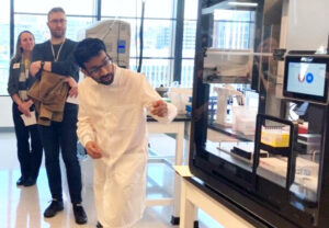
The COVID-19 pandemic has altered life as we know it in Seattle, and a team from the University of Washington is conducting research using images from around the city to better understand just how much.
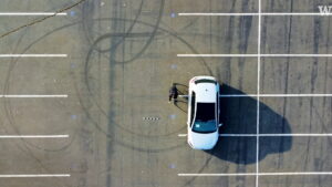
Since May, researchers have been driving around Seattle, scanning the streets with a car-mounted camera similar to Google’s Street View technology. Images capture a particular point in time and illustrate whether people are outside, how many cars are on the road, which business are open and so forth. According to UW News, researchers hope the massive data set will help answer questions about what makes a city resilient and how to better prepare for potential future pandemics and other disasters.
“We talk about resilience a lot in disaster sciences. There are lots of theories about what makes a community resilient to natural hazards, but we don’t fully understand resilience to pandemics, partially because we just haven’t been through these events at this scale,” said co-lead researcher Nicole Errett, an assistant professor of environmental and occupational health sciences.
The project helps researchers see how people are reacting to the health crisis and whether they’re following recommendations for social distancing or wearing masks. It also tracks how behavior changes as the pandemic stretches into later months.
The UW team drives a route meant to capture different aspects of the city — including views of schools, parks, restaurants, hospitals — across a variety of neighborhoods. The drive takes between eight and 11 hours and researchers try to maintain a consistent schedule — every few weeks on Fridays and also some Sundays, to capture differences between weekday and weekend views.
Each drive is turned into tens of thousands of images, and researchers are developing algorithms to help them identify things such as cars, people and whether they are physically distancing in each frame, the UW said. Identities — such as human faces and vehicle license plates — will be blurred.
The camera is already picking up significant differences between data from May and what’s happening currently in the city.
“For example, when we first drove past Harborview Medical Center, no one was present on the block. Now it’s beginning to look like it used to,” said co-lead researcher Joseph Wartman, a professor of civil and environmental engineering.
The team will present its project on Thursday at the Environmental and Occupational Health webinar through the UW School of Public Health.